After a surprising restful night at a nearly empty Hurkey Creek Campground we continued our adventure in search of a route to Idyllwild.
We found a mountain bike trail running north of the campground that parallels Highway 74 just to the east. We followed it until it began to veer away from the highway, so we joined the highway at a convenient gate.
We continued 4/10 mile past Highway 243 to McCall Park Road which we followed until it ended at a trail going to Idyllwild. The trail follows a powerline and if you keep following the powerline you cross Highway 243, skirt to the left of a tree grinding dump and eventually meet Saunders Meadow Road.
We hiked Saunders Meadow Road to Pine Ave where JJ gave us a ride into downtown Idyllwild. Tomorrow we will continue on Pine Ave to the South Ridge Trail and rejoin the Pacific Crest Trail at the first spot north of the fire closure.
Overall we are happy with the route we took into Idyllwild. It allowed us to hike as much of the PCT as possible, and the views were quite spectacular. We were able to avoid most of the highway road walking, although we did walk probably two or three miles of Highway 74.
A Google Earth track of our route is here or a .GPX format version is here.
We bought 2.5 of food in Idyllwild and Deb finds town stops a little stressful.
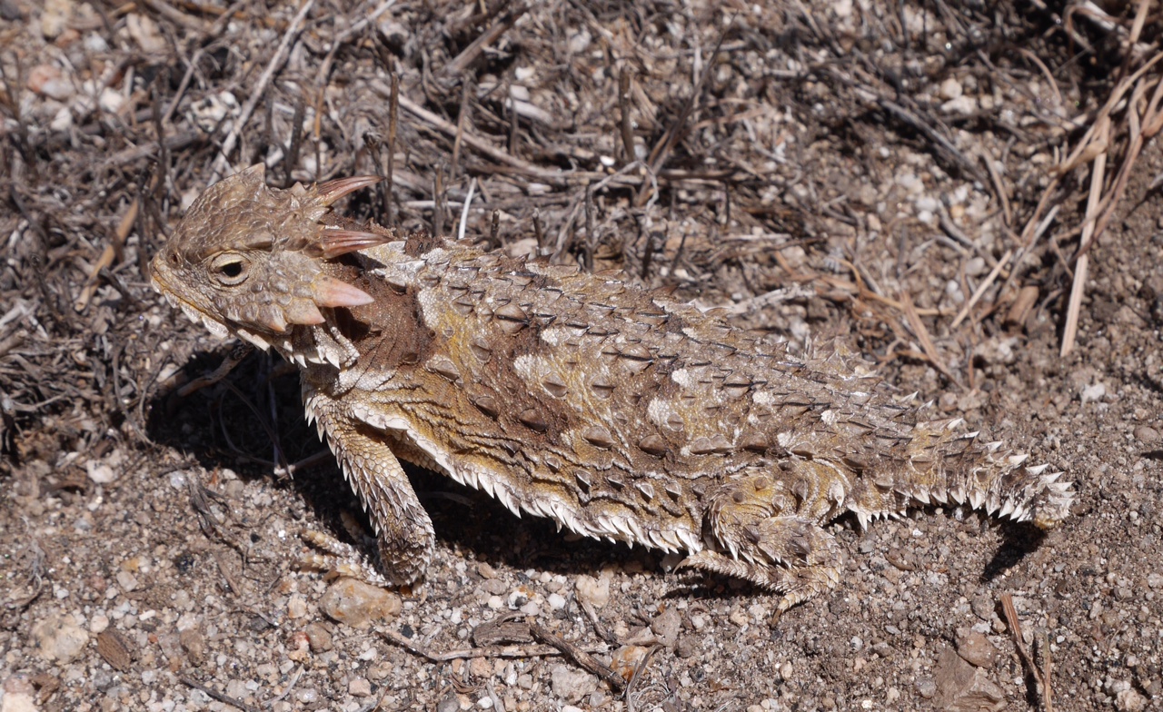
Photo: A horned lizard along our alternate south of Idyllwild.
Trail Date: Tuesday, April 15th
Mileage: 8.1 miles
