Categories
Walking

We Finished The Oregon PCT

Today we walked across the Bridge Of The Gods in Cascade Locks, OR to finish our hike of the Oregon section of the Pacific Crest Trail.

Deb (AKA aFloat) has now hiked 2,144 miles of the PCT counting her hike across California in 2014. I have now hiked across Oregon three times on the PCT and each time the trail has had a different look and feel because of snow, rain, and fire conditions.

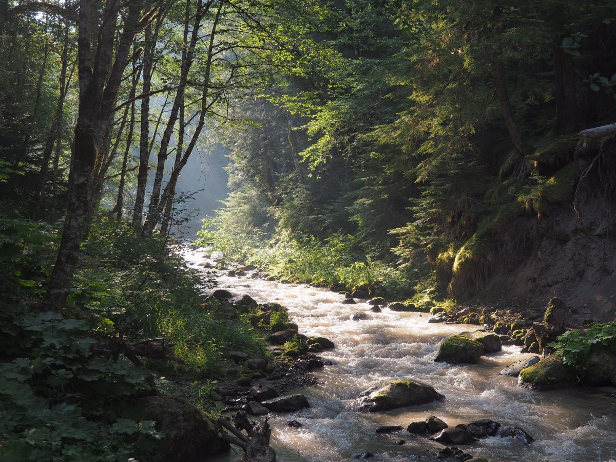
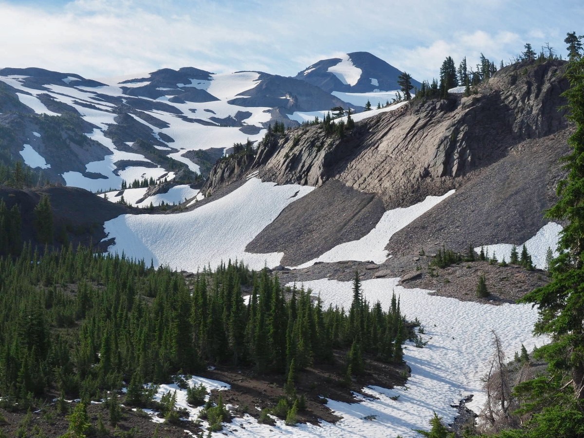
Oregon has been great hiking but the unseasonably warm weather and smoke from the many wildfires made the hiking this year just a bit less pleasant than normal. The late snow thaw kept the trail blocked by some very big downed trees forcing some creative hiker get-arounds. Wildlife encounters were rare, but still special. The berries never made an appearance until the final days and they are sparse and unripe as yet.

We are elated to have finished the state but have mixed feelings about what we missed: the snow fields of Diamond Peak and the (non-PCT) Eagle Creek portion. However, everyone hikes their own hike and so did we. And we can live with our decisions quite happily.

Categories
Walking

The Final 100 Miles and a Wildfire

A helicopter fighting the Whitewater fire near Jefferson Park.

We arrived in Olallie Lake Resort and are now down to the final 100 miles of our 430 mile hike across Oregon on the Pacific Crest Trail.
Walking only 100 miles more feels a little like we are practically done, or at least this hike is winding down to its final stage.
We can see snowy Mount Hood looming large ahead. It’s the last large mountain in Oregon. Mount Hood is 11,200 feet tall, but the PCT only briefly climbs to 6,000 feet as it traverses around the mountain. Snow should not be a problem this late, even in this high snow year.
This past week has been interesting hiking. We hiked for miles across lava fields near McKenzie Pass. We climbed part way up and around Three Fingered Jack. We hike around Jefferson Peak and through beautiful Jefferson Park.
Near Jefferson Peak we encountered the Whitewater Wildfire burning about a mile from the PCT. We watched as three firefighting helicopters flew overhead scooping up water from lakes in Jefferson Park and dumping it on the fire.
As we reached Olallie Lake Resort we noticed looking back the smoke from the wildfire seemed greater than when we passed the day before. Then we learned that the Forest Service would be closing the PCT near Jefferson Peak this morning because of the fire. We made it past this fire closure with about 24 hours to spare. We feel bad for the hikers behind us caught up in this trail closure.

Categories
Walking

The Three Sisters

The Three Sisters Wilderness is an amazing section of the Pacific Crest Trail.

When I hiked this section on my 2014 thru-hike I experienced several days of heavy rain and almost never saw the mountains.

This trip the weather has been perfect, wildflowers are blooming everywhere, and the snow covered Three Sisters mountains dominate the skyline 4,000 feet above. Water has been plentiful, the trail is almost snow free, and the camping excellent.

We can see several mountains on the horizon that we will be approaching soon. Three Fingered Jack, Mount Jefferson, and off in the distance Mount Hood.

Several southbound hikers have reported snow is not an issue to the north. Every hiker has a different idea of what easy snow is. What’s easy to a guy that has been guiding on Mount Rainer the past five years is probably different for us. One of the hikers said she hates snow and didn’t find it difficult, so we are encouraged.

In other strange news, a southbound hiker reports there are no mosquitoes in Northern Oregon. We have had a bunch of them in Southern and Central Oregon and are skeptical of this report.

Categories
Walking

200 Miles

Diamond Peak reflected in Diamond View Lake at sunrise

Today we reached the 200 mile point in our hike.

This section of the Pacific Crest Trail has been really nice with lovely lakes to camp near most nights…Summit Lake, Diamond View Lake, Odell Lake, Bobby Lake and likely Brahma Lake later today.

We did change our plans and detoured off the PCT briefly after we had a look at the snow on Diamond Peak and followed the Crater Butte Trail from the PCT to near Diamond View Lake on the Oregon Skyline Trail and into the Shelter Cove Resort.

The Shelter Cove Resort is a hiker-friendly RV park on Odell Lake that has recently changed ownership. We shipped a resupply box there and enjoyed several meals from the remodeled kitchen with its expanded menu. A welcome change from trail food.

While at Shelter Cove I received a surprise call from my credit card company letting me know my card was compromised and a replacement card was being sent. It will be awhile before that card catches up to me. This is the third time in the past few years that I’ve had credit card issues while hiking the PCT. I carry spare credit cards now so they can just be canceled and not impact my plans. Unfortunately, the canceled card had several auto payments, and I had to spend some time making changes to things like health insurance and storage rentals so they would continue to be paid. I need to rethink my strategy on auto payments given the current poor state of security of the payment card industry.

Categories
Walking

Mount Thielsen

Mount Thielsen is about 30 miles north of Crater Lake via the Pacific Crest Trail and this was our next challenge due to possible snow.

I had been watching satellite snow data and could see the Mount Thielsen area had late snow this year. I’ve noticed that satellite snow data, while mostly accurate, tends to underestimate the amount of snow or maybe it just doesn’t show smaller (1/4 or 1/2 mile) patches of snow that can remain on the ground for several weeks after the satellite images show all the snow gone.

Packing for our hike in the 100 degree heat of Medford, OR a few weeks ago, snow seemed unlikely and we didn’t pack any snow gear (ice axes, crampons, etc.).

So, off we go to the mountain. After all, the worst thing would be having to turn around if the snow was bad.

Mount Thielsen turned out to be a wonderful section of trail. We camped a few miles before snow started. The next morning we got a late start to let the sun soften any icy snow and off we went. There was quite a bit of snow, but it was mostly patchy. It probably covered 30-40% of the PCT from around miles 1849 – 1860. The north side of Mount Thielsen did have several large snow patches and a couple of them were steep around miles 1851.4, 1852.3 and 1853.6.

Thielsen Creek was still frozen over, but walking downhill about 300 yards we found water in a thawed spot in the snow.

Surprisingly, we had the mountain almost all to ourselves. A large group of hikers departed Crater Lake about the same time we did, but we only saw three other hikers that day. Our group of three felt it was the best day yet on the trail.

Categories
Walking

Crater Lake

Crater Lake
Crater Lake from the Rim Trail.

Crater Lake truly is a wonder and we had a beautiful day to hike up to the Rim from Mazama Village.

We departed early and a hiker named Thug Life offered us a ride the mile and a half back to the Pacific Crest Trail trailhead.

We hiked up the PCT to Dutton Creek where the Crater Lake Rim alternate route begins. Rumors were circulating among the hikers back at Mazama Village of treacherous steep icy trails on the trail to Rim Village but we didn’t find anything dangerous, just a half mile of relatively easy snow.

Reaching Rim Village you see the first views of Crater Lake and it’s always amazing. Our hike followed the Crater Lake Rim about five miles around the lake until it splits off to the north toward Mount Thielsen.